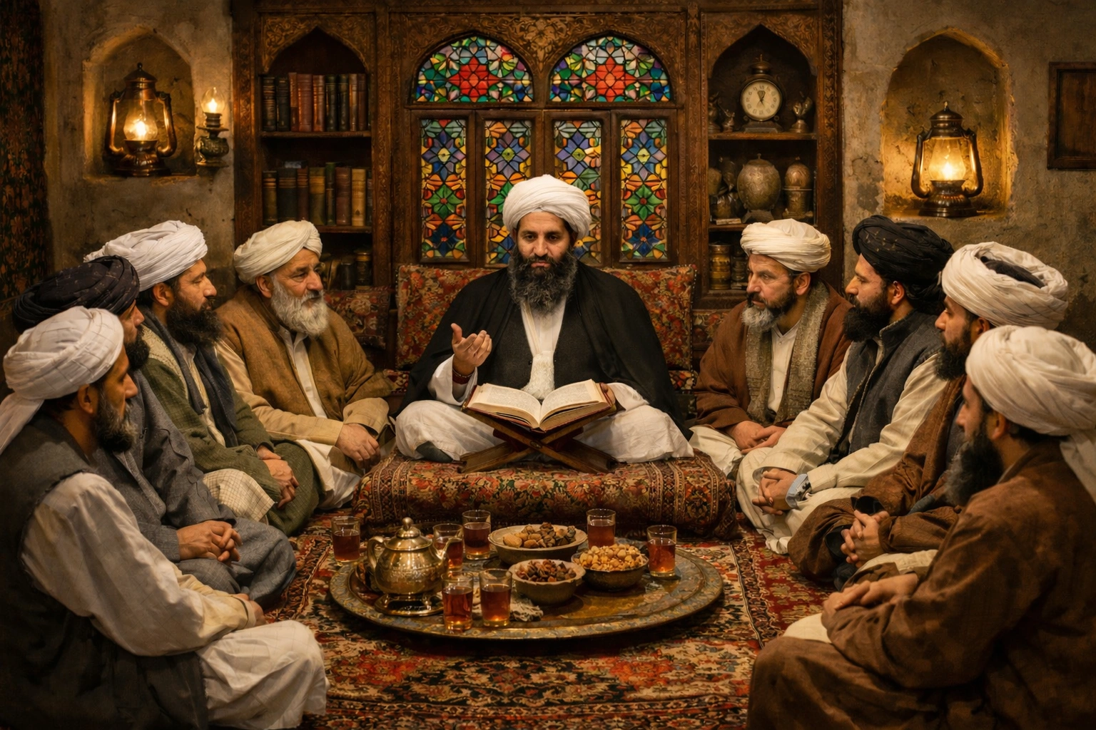
Afghanistan has a diverse and rugged geography shaped by mountains, valleys, deserts, and river systems. Its physical landscape has strongly influenced settlement patterns, agriculture, transportation, and security throughout history. Geography plays a central role in how people live and how regions of the country differ from one another.
Understanding Afghanistan’s geography helps explain its regional diversity and long-term development challenges.
Mountain Ranges and Highlands
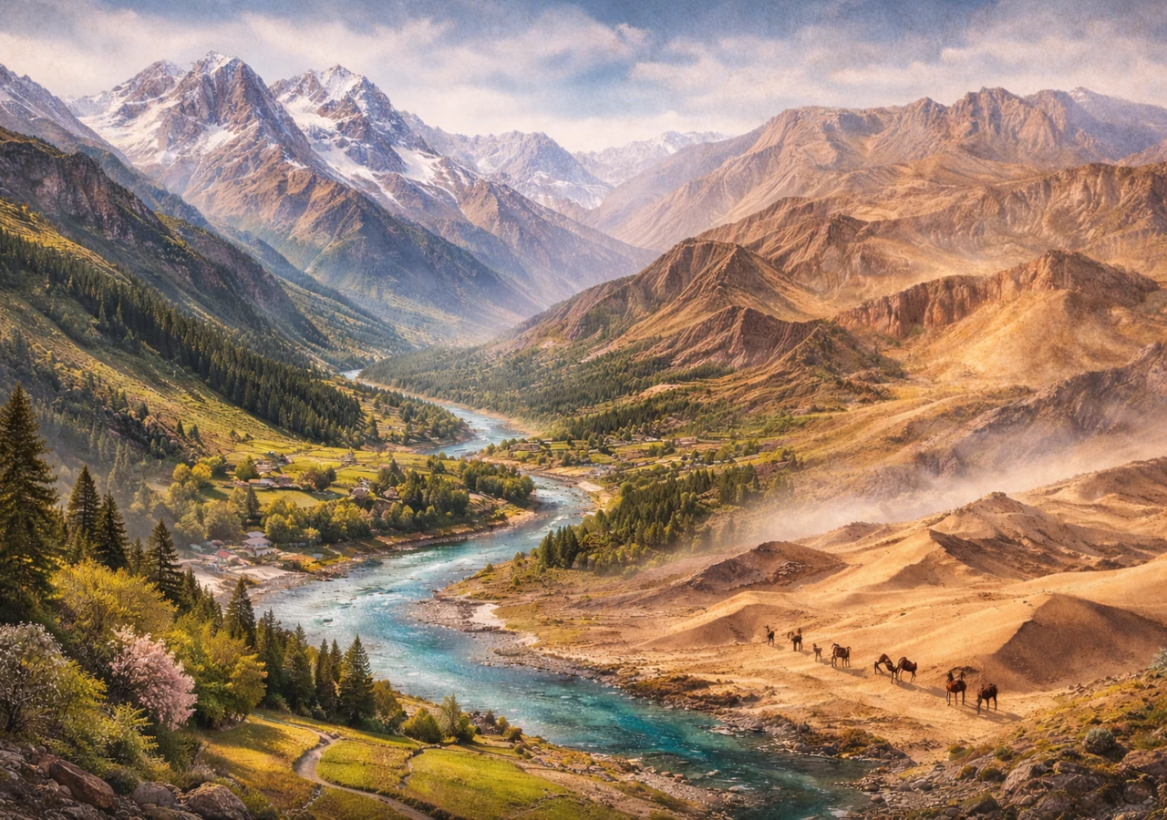
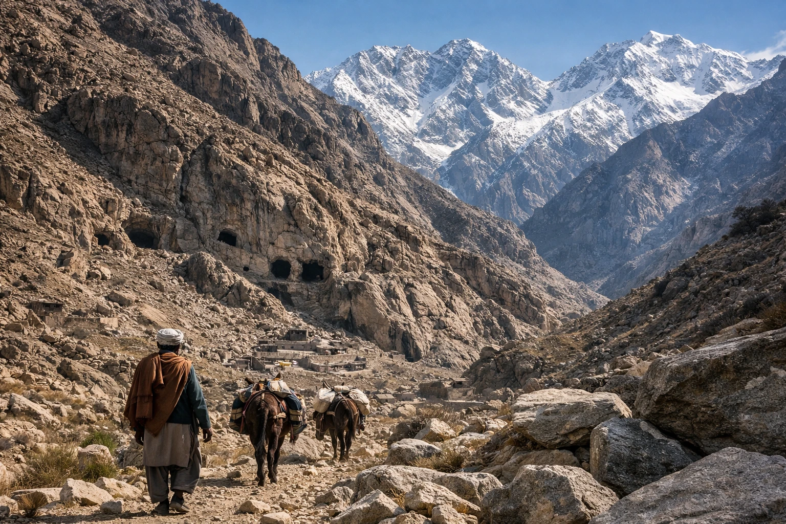
Much of Afghanistan is mountainous. The Hindu Kush mountain range runs through the center of the country, creating high peaks, narrow valleys, and natural barriers between regions.
These mountains affect climate, limit transportation, and influence where people can live and farm.
Valleys and Fertile Areas
Despite its rugged terrain, Afghanistan has many fertile valleys. These valleys support agriculture and have historically been centers of settlement.
River valleys provide water for crops and livestock, especially in otherwise dry regions.
Deserts and Arid Regions
Large parts of southern and western Afghanistan are arid or desert-like. These areas receive limited rainfall and have sparse vegetation.
Desert regions support nomadic lifestyles and seasonal movement rather than permanent large settlements.
Rivers and Water Systems
Afghanistan has several important rivers that support agriculture and daily life. Many rivers originate in the mountains and flow toward neighboring countries.
Water availability varies by season and region, making water management a key challenge.
Climate Diversity
Afghanistan’s climate varies greatly due to its geography. Mountain areas experience cold winters and mild summers, while lowland regions can be very hot in summer.
Seasonal changes affect farming cycles, travel, and daily activities.
Landlocked Position
Afghanistan is a landlocked country with no access to the sea. This limits trade options and increases reliance on neighboring countries for imports and exports.
Its location has historically made it a crossroads for regional movement despite the lack of ports.
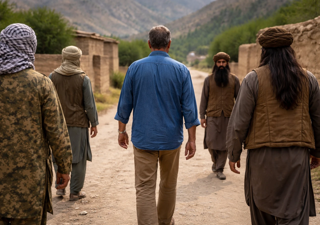
Impact on Transportation and Connectivity
Mountains and rough terrain make transportation difficult. Many regions are isolated during winter due to snow and poor road conditions.
Geography has shaped regional separation and local self-reliance.
Influence on Regional Differences
Geographic conditions differ widely between regions, leading to variations in agriculture, housing styles, and economic activity.
These differences contribute to Afghanistan’s strong regional identities.
Final Notes
Afghanistan’s geography is defined by mountains, valleys, deserts, and varied climates. Its rugged terrain, limited water resources, and landlocked position have shaped settlement, economy, and regional diversity. Understanding this geography provides essential context for Afghanistan’s history, culture, and daily life today.


No Comments